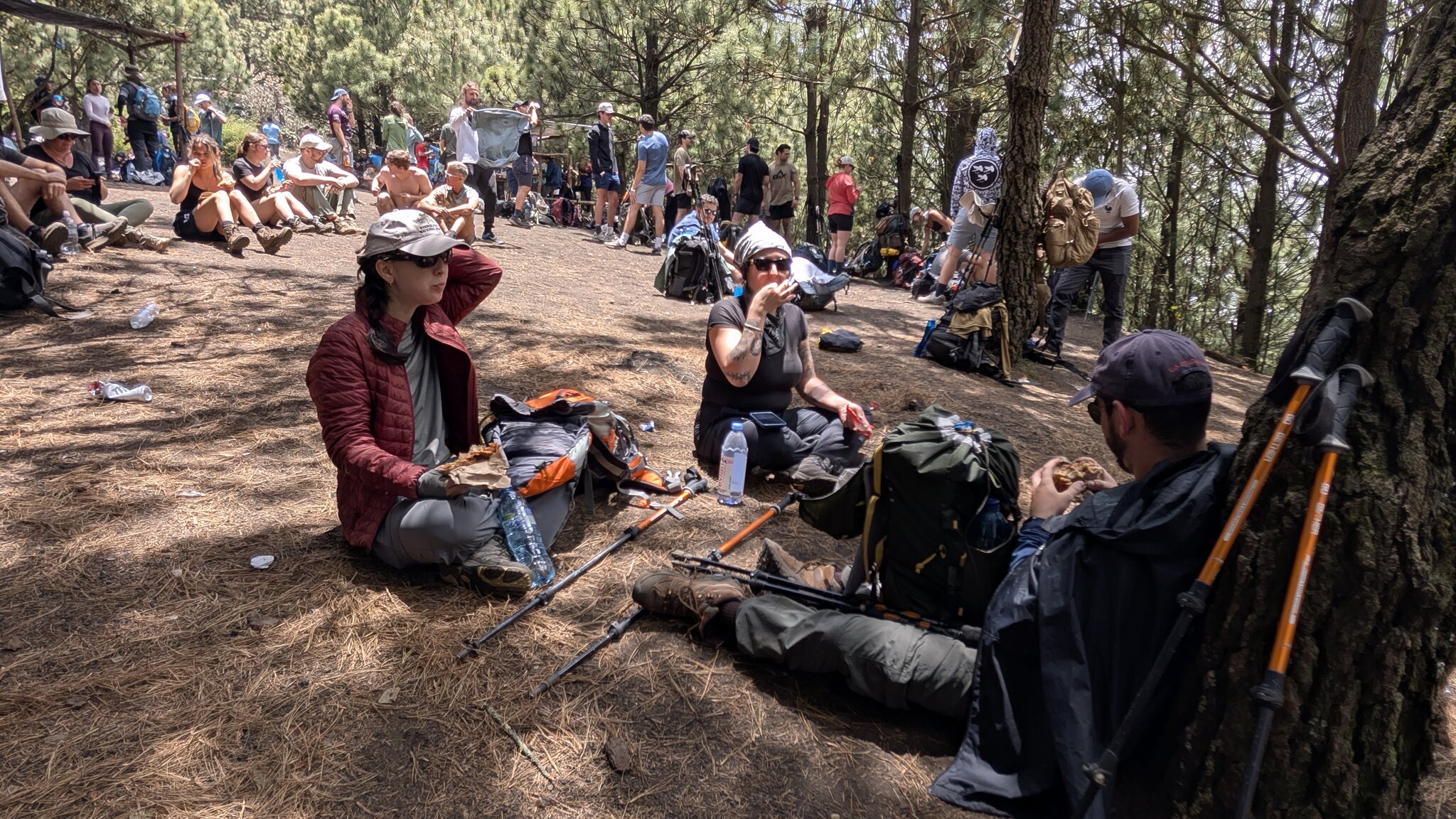
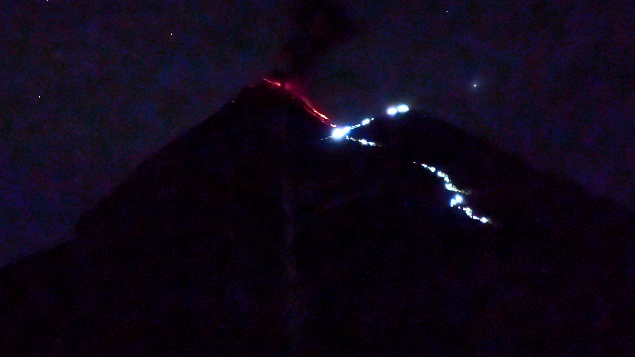
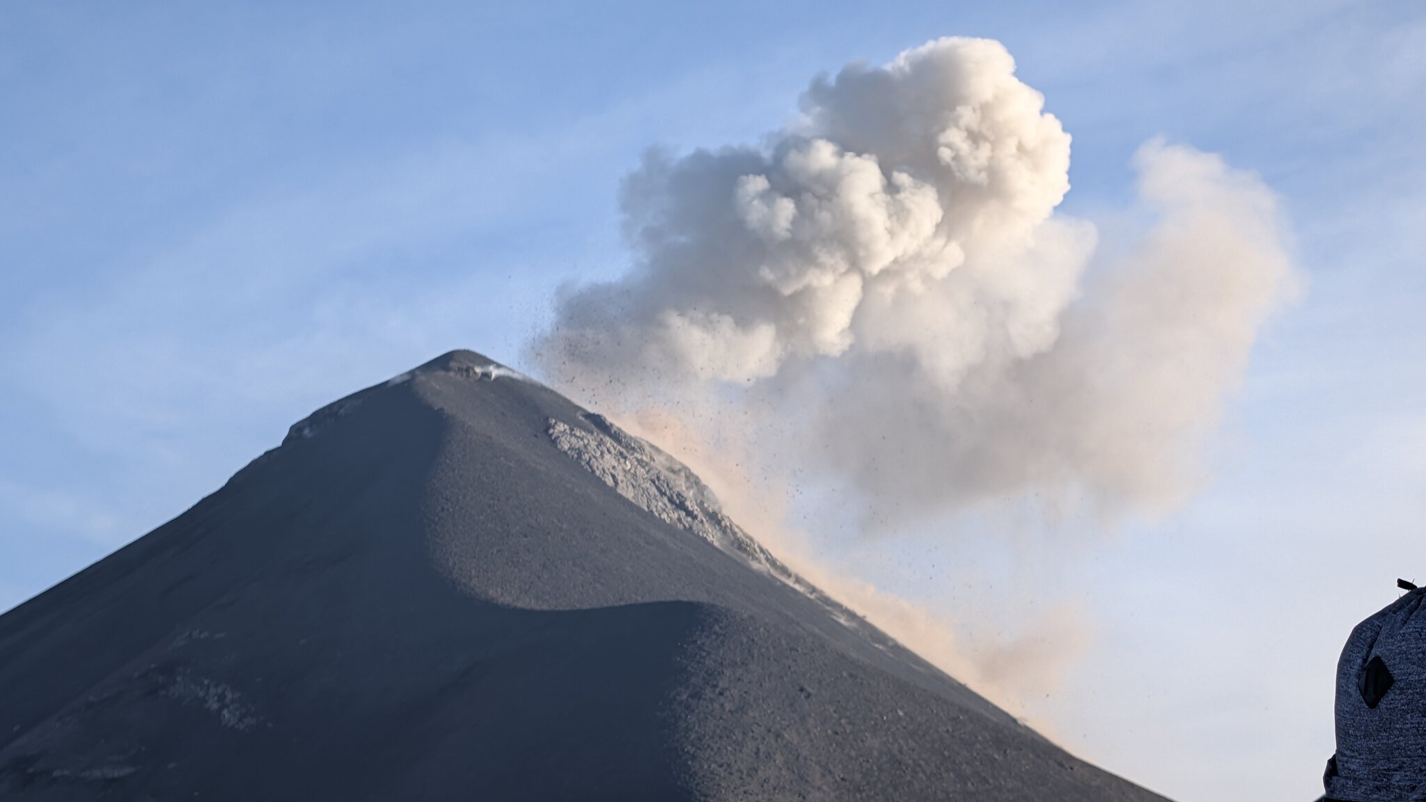
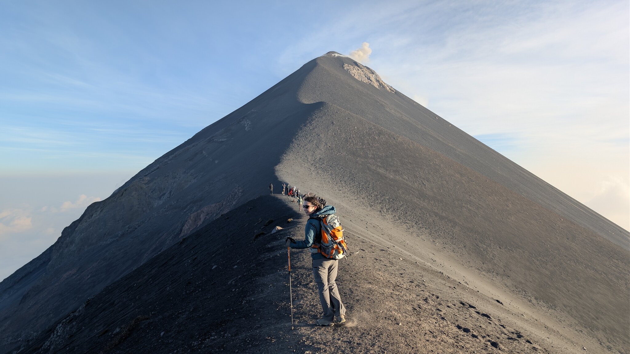
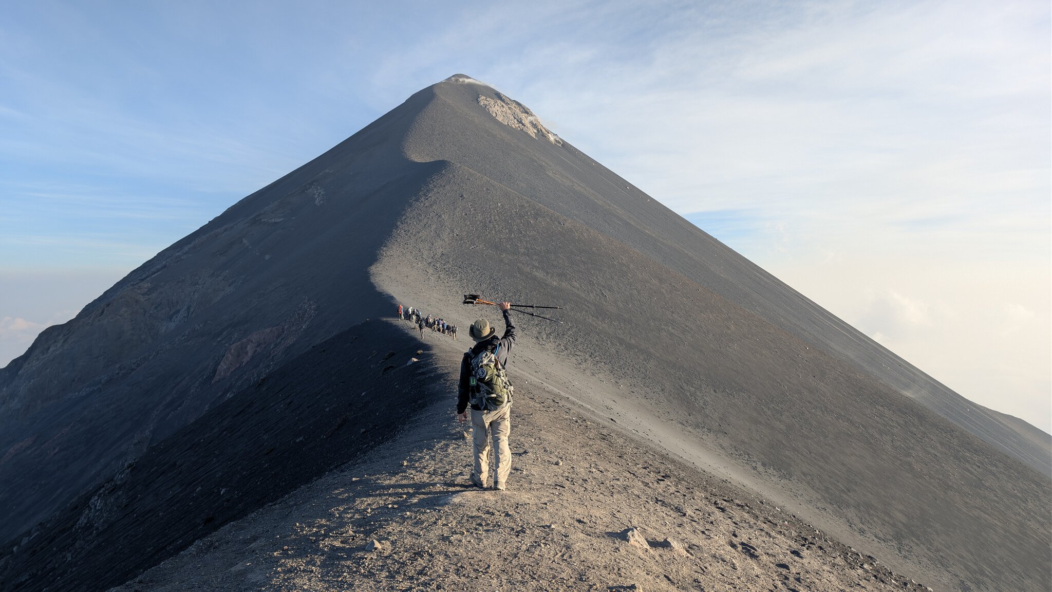
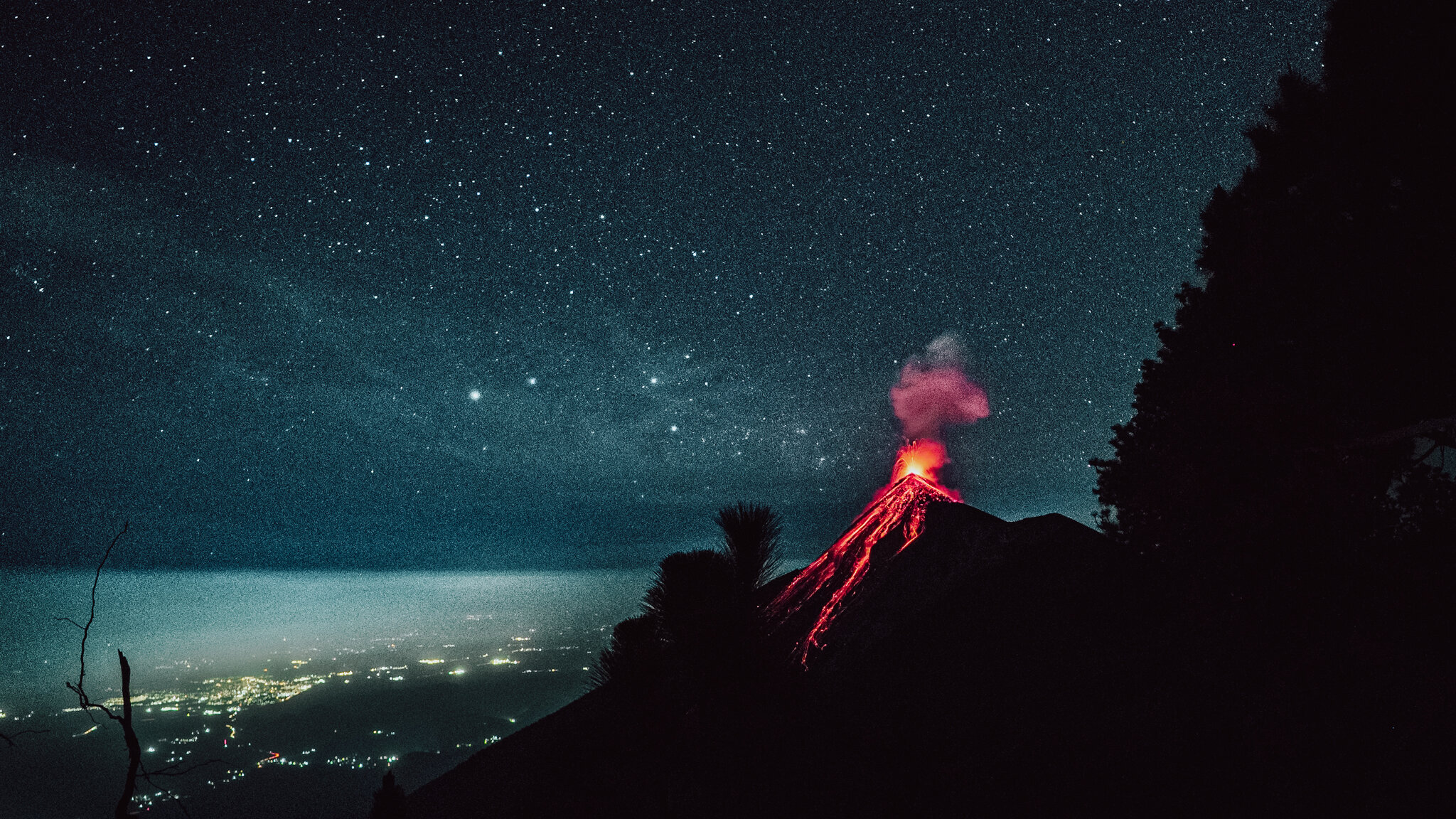
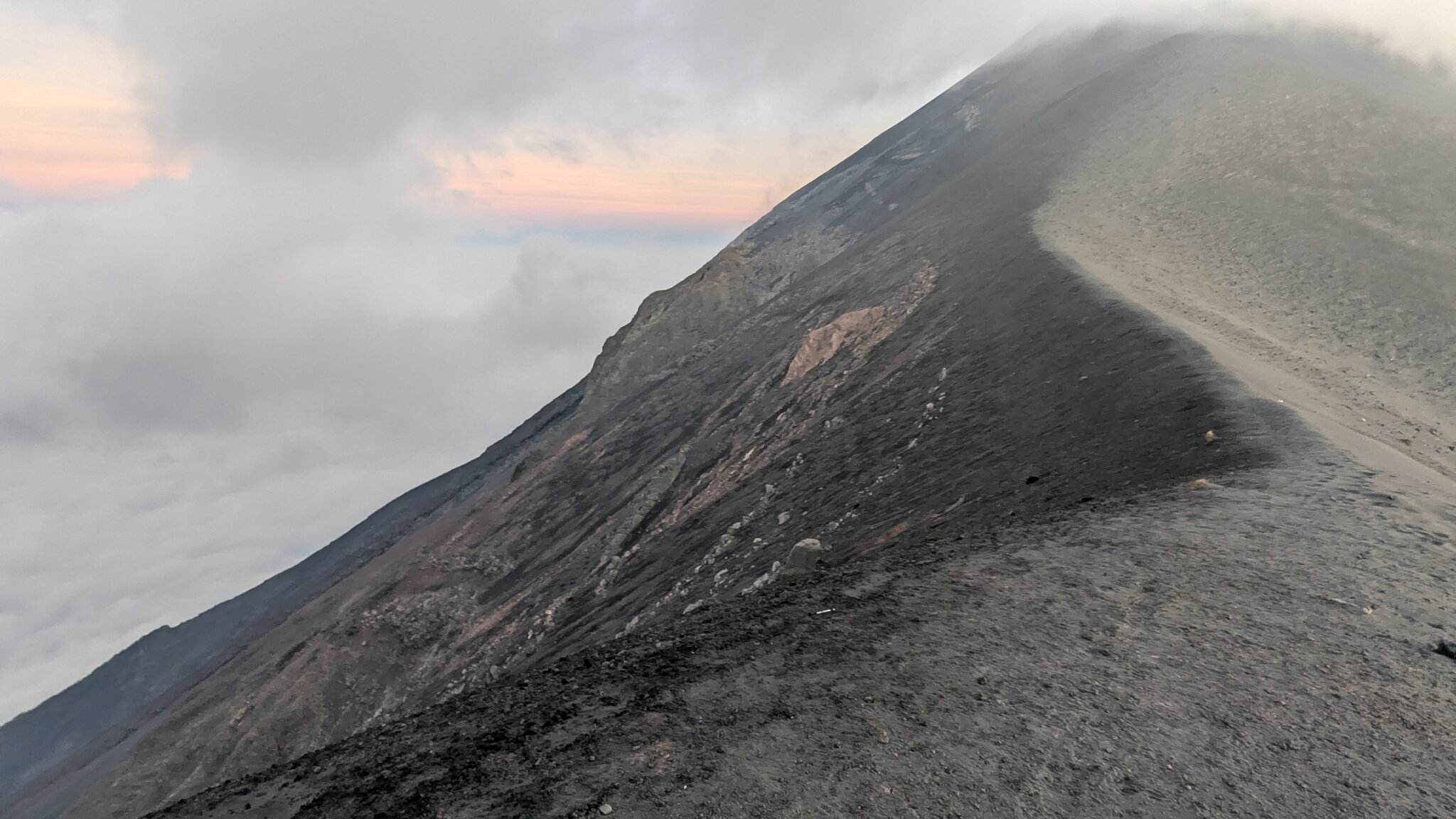
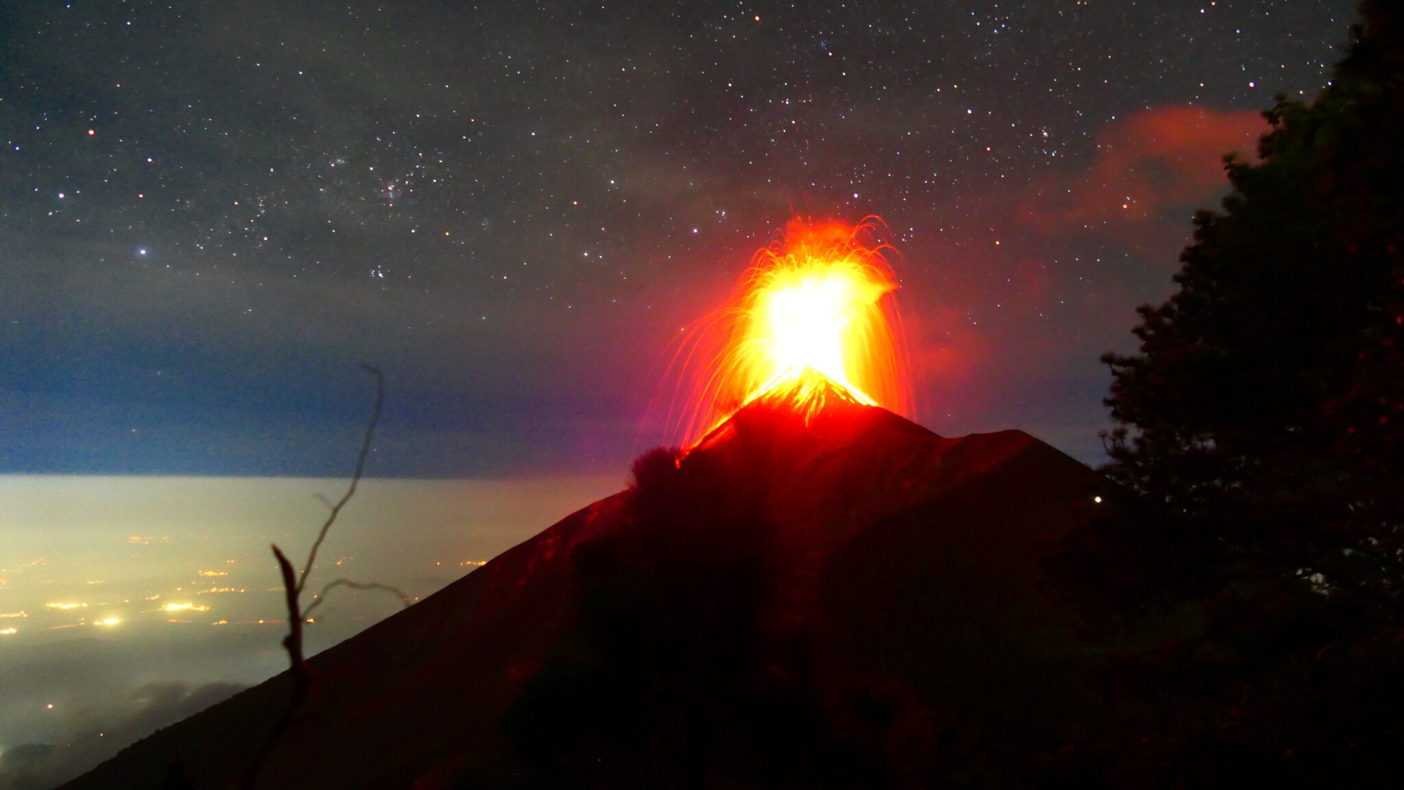
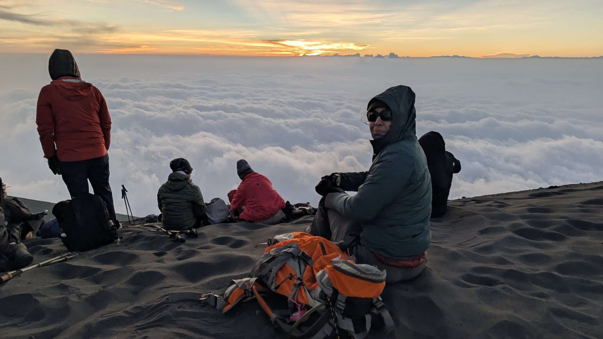
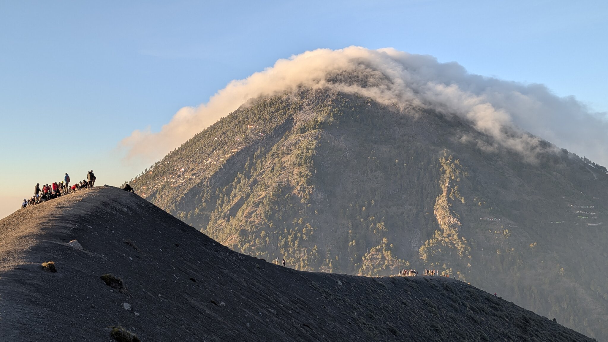
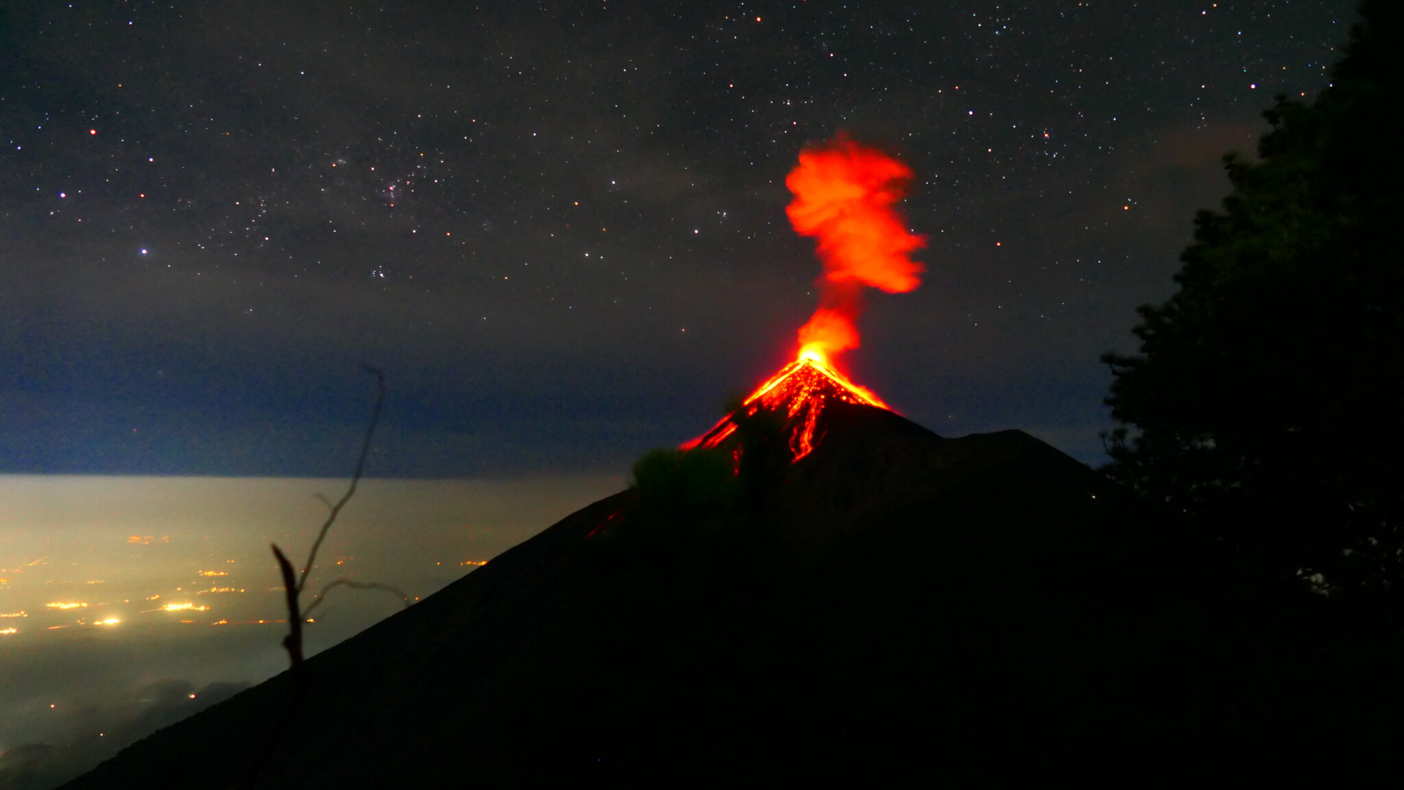
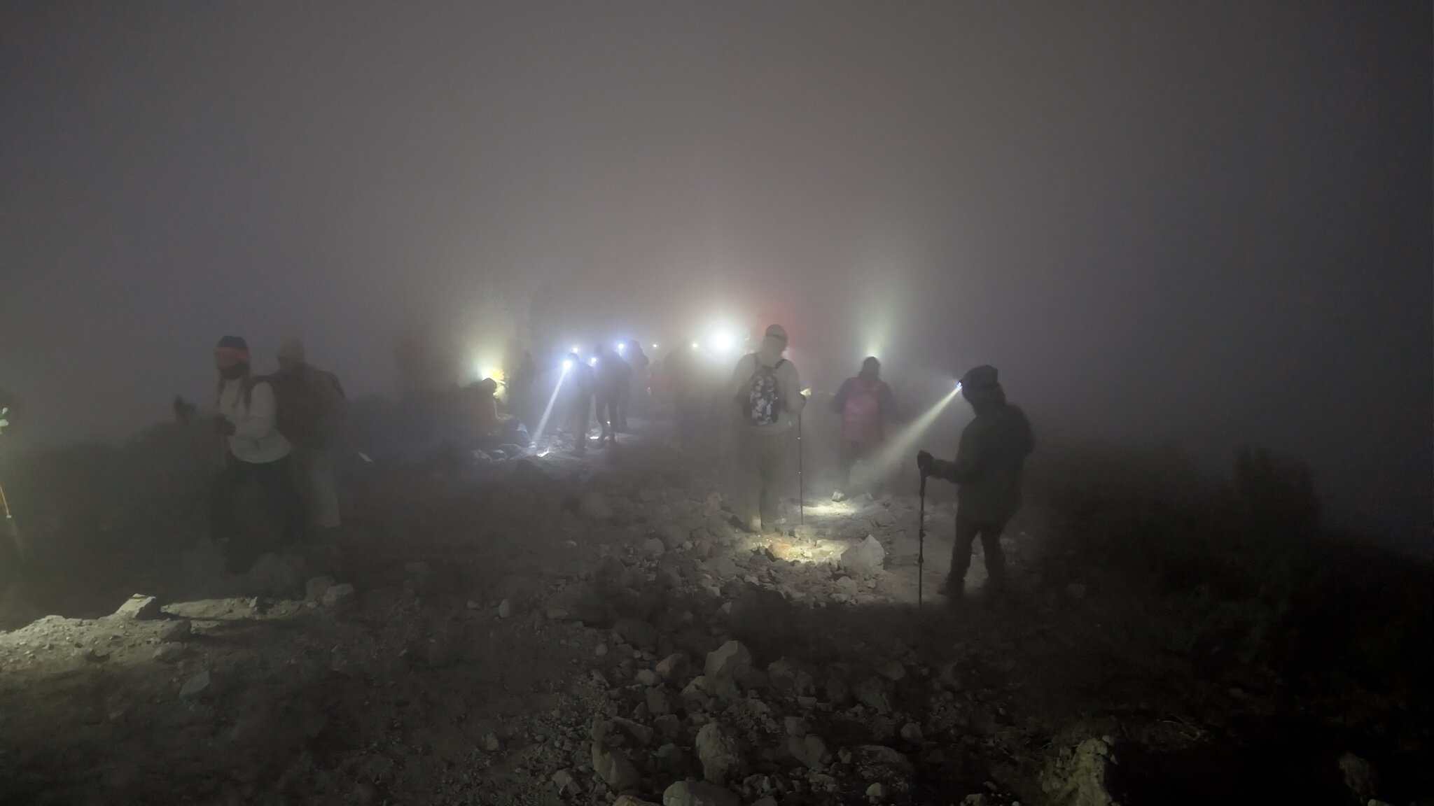
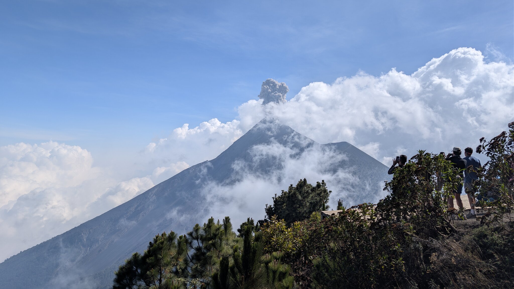
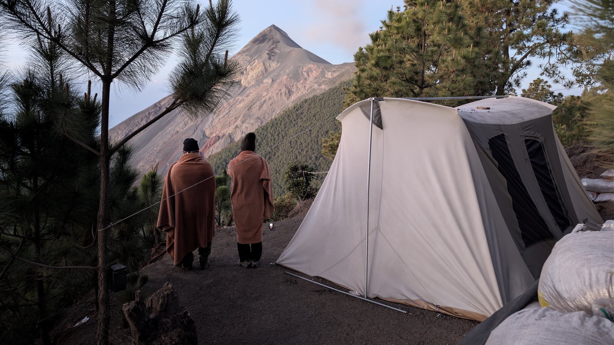
The hike to Acatenango and views of Volcán de Fuego offered one of the most intense and unforgettable trekking experiences. The steep ascent through changing landscapes—from farmland to dense forest and volcanic ash—was physically demanding, but reaching base cam
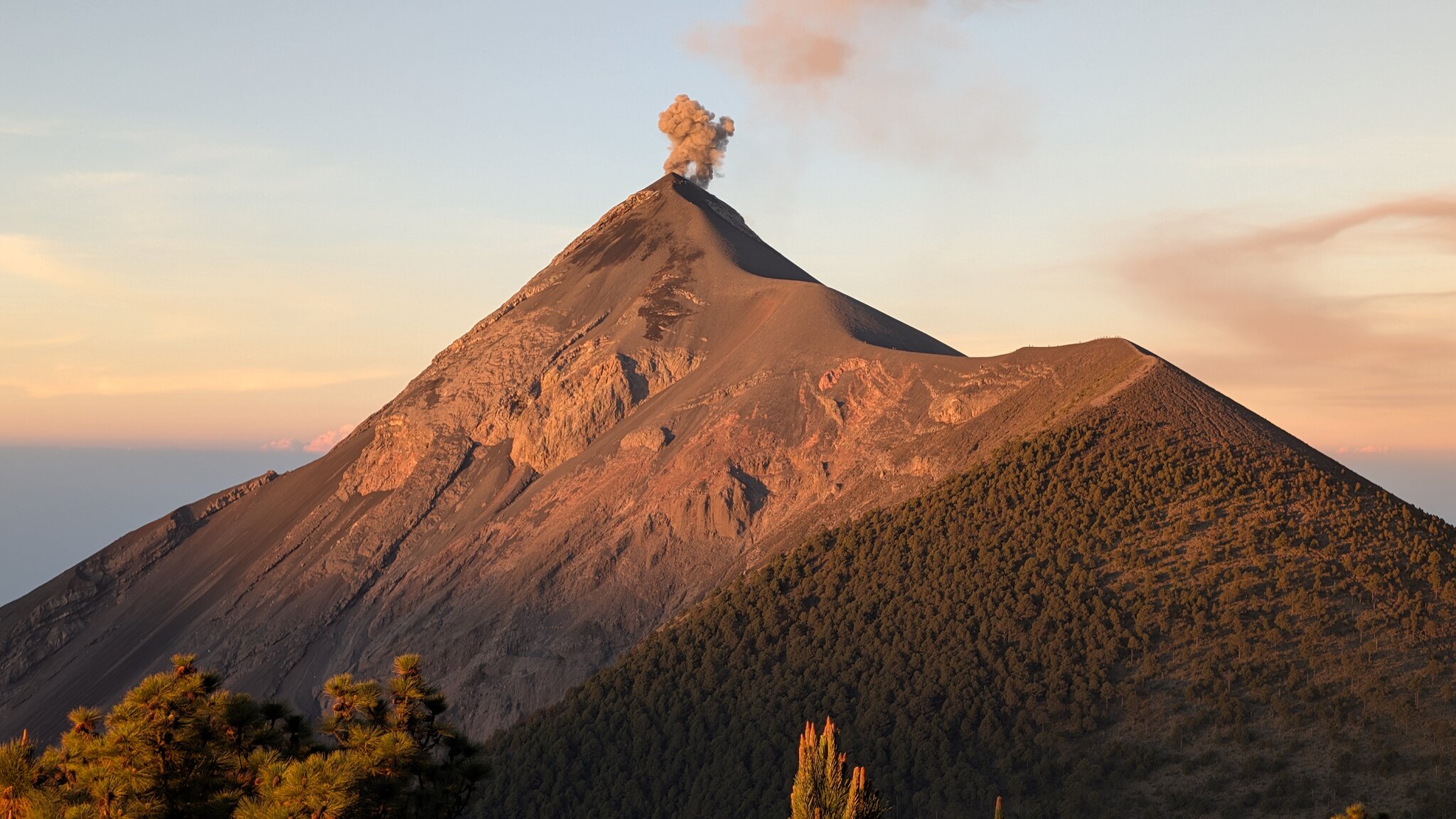
Acatenango Hiking and Volcan de Fuego
April 17, 2026
by @antoniodltm
Alotenango, Guatemala
Difficult
Completed
Distance 24.78 km
Est. duration 13h 50m
Elevation Gain 2206 m
Elevation Loss 2275 m
Category Hiking
Description
Route
Start
3.74 km
14.51764, -90.87526
6.56 km

14.49341, -90.87308
6.79 km
14.49207, -90.87587
7.52 km
14.48464, -90.87879
7.75 km
14.48216, -90.88046
7.75 km
14.48216, -90.88046
7.80 km
14.47497, -90.88200
7.80 km
14.48131, -90.88039
7.80 km
14.47479, -90.88179
7.80 km
14.48131, -90.88039
7.80 km
14.48139, -90.88040
7.80 km
14.47448, -90.88158
8.31 km
14.48419, -90.87901
9.62 km
14.49523, -90.87002
9.84 km
14.49507, -90.87008
24.78 km
Finish