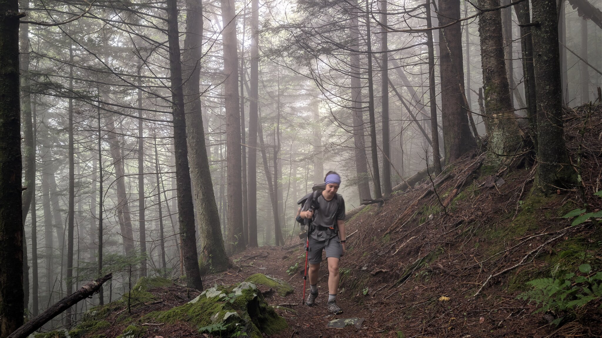
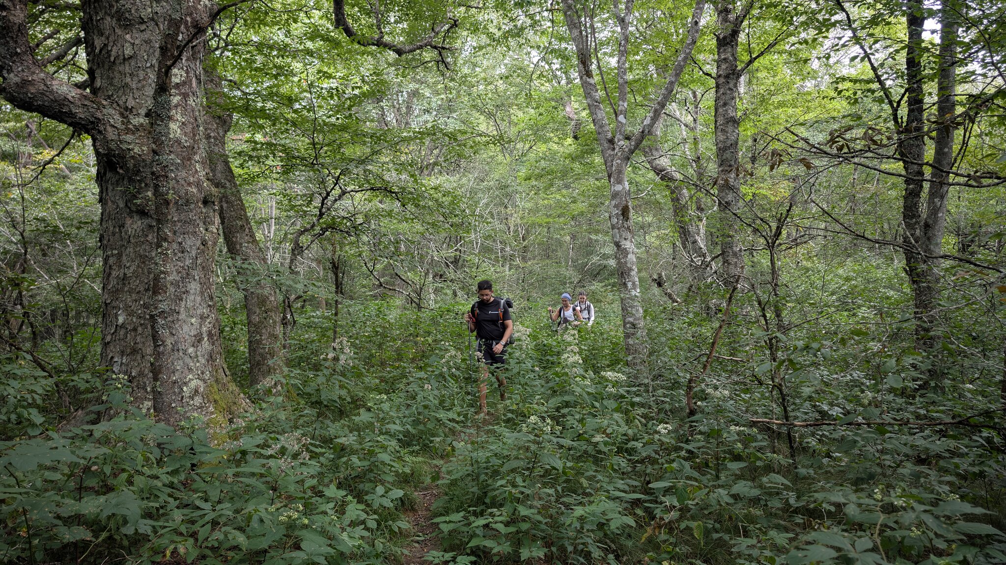
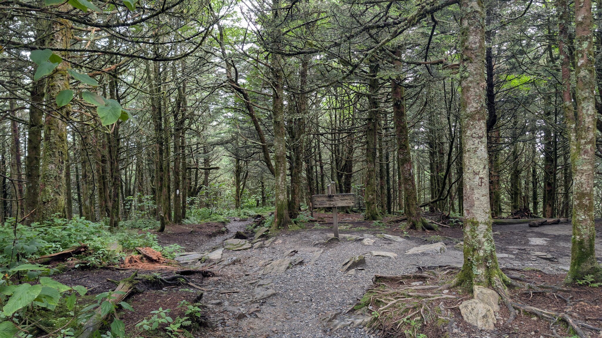
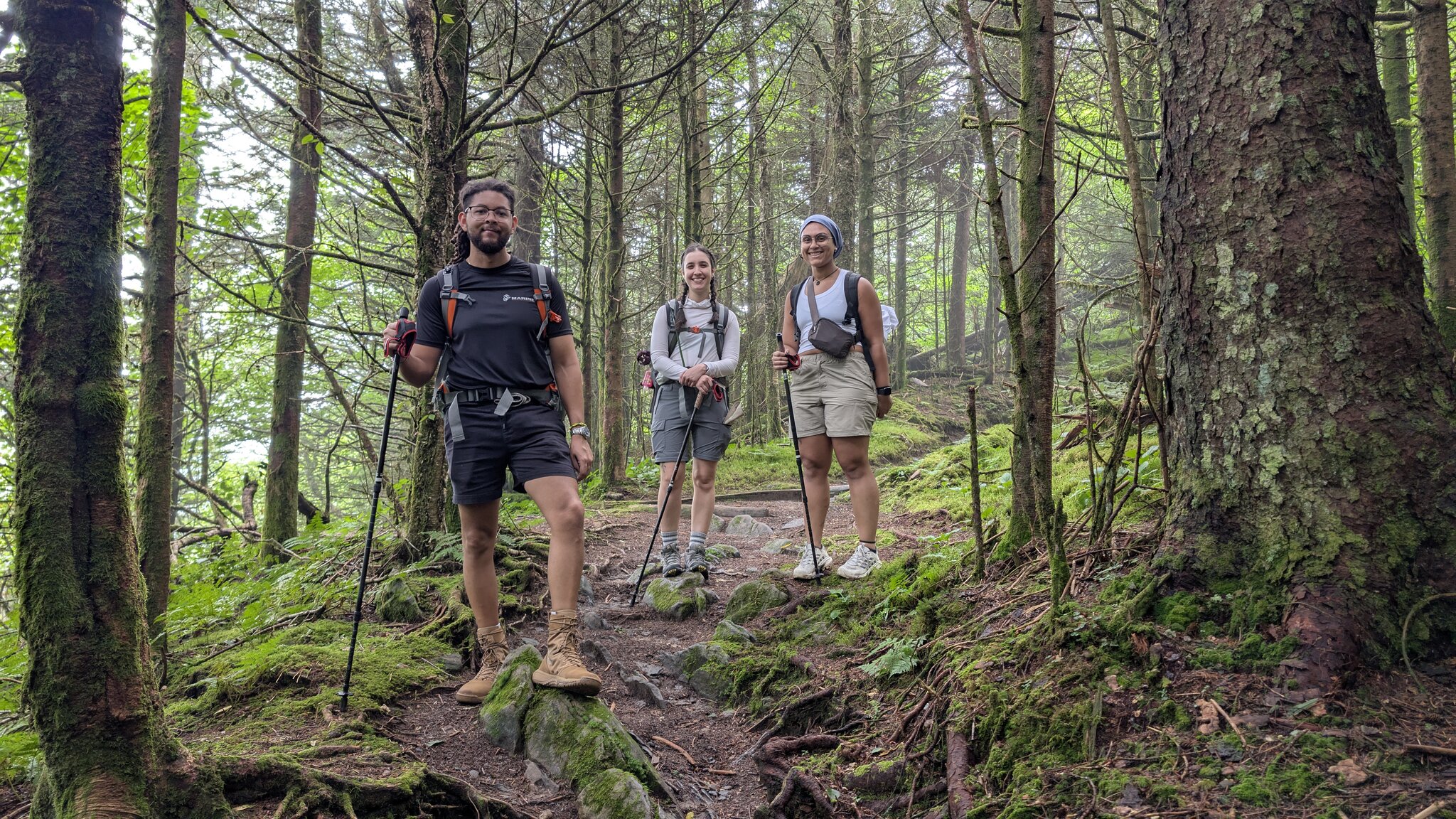
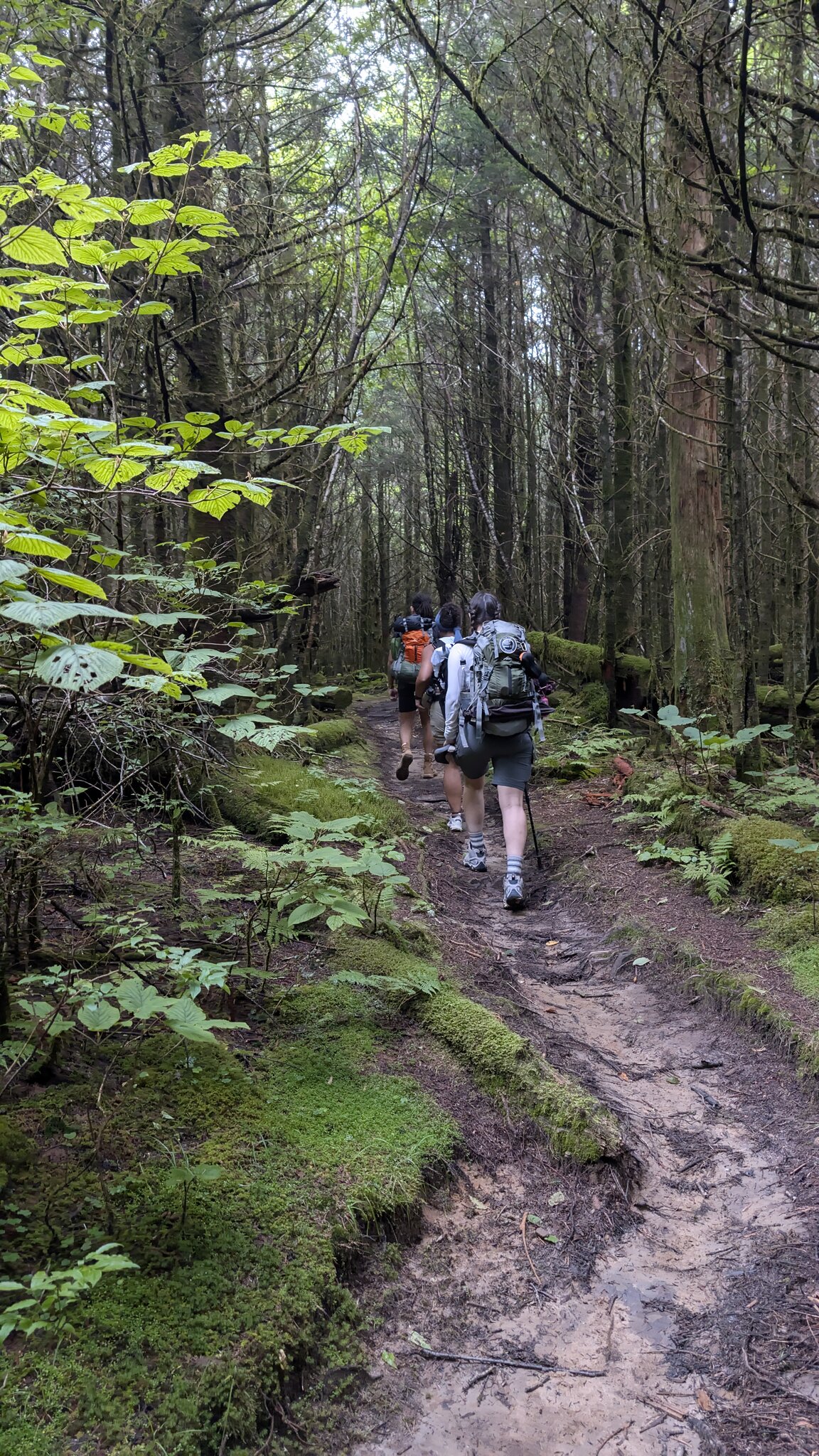
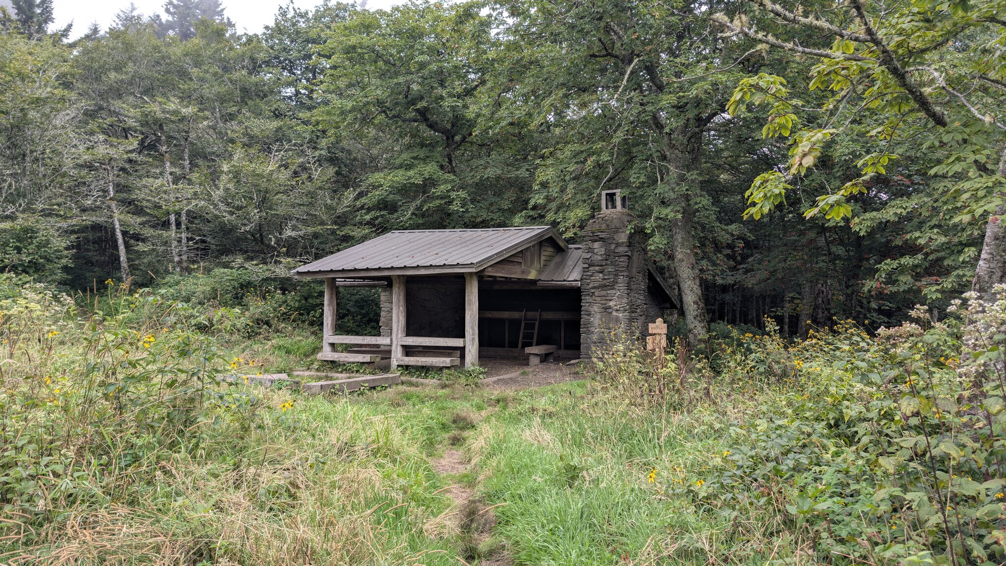
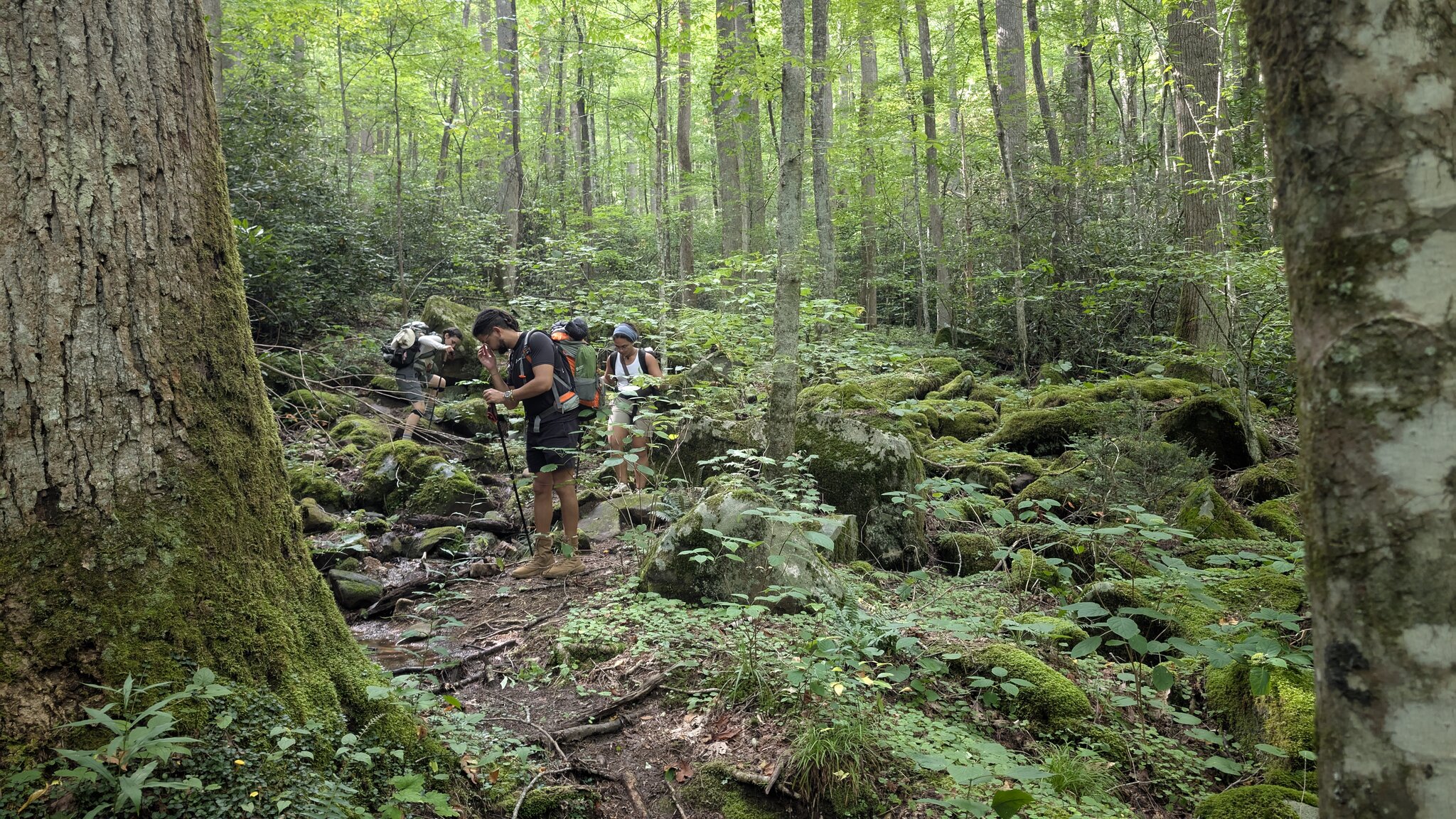
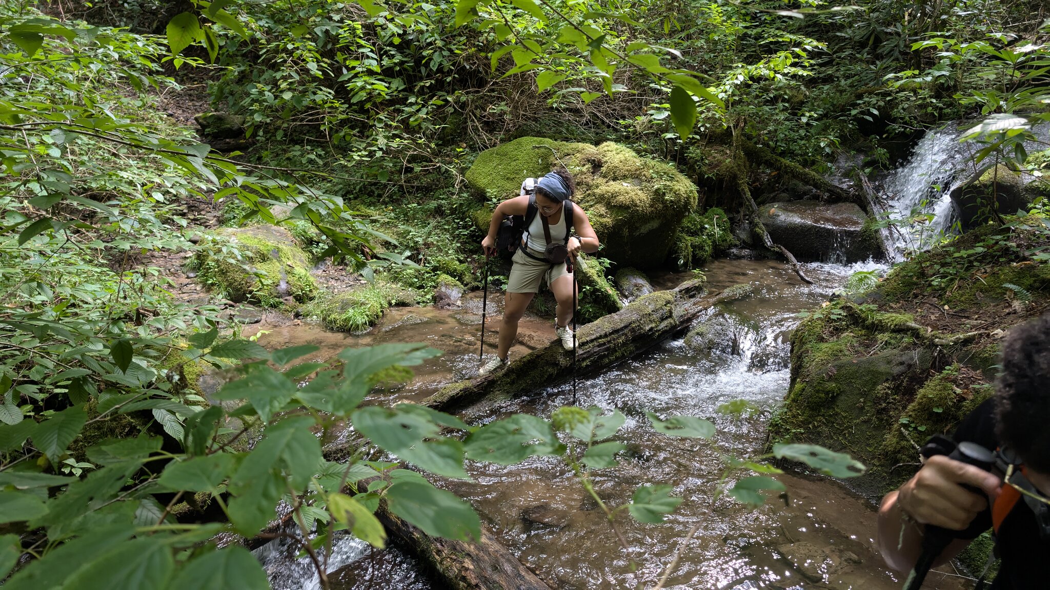
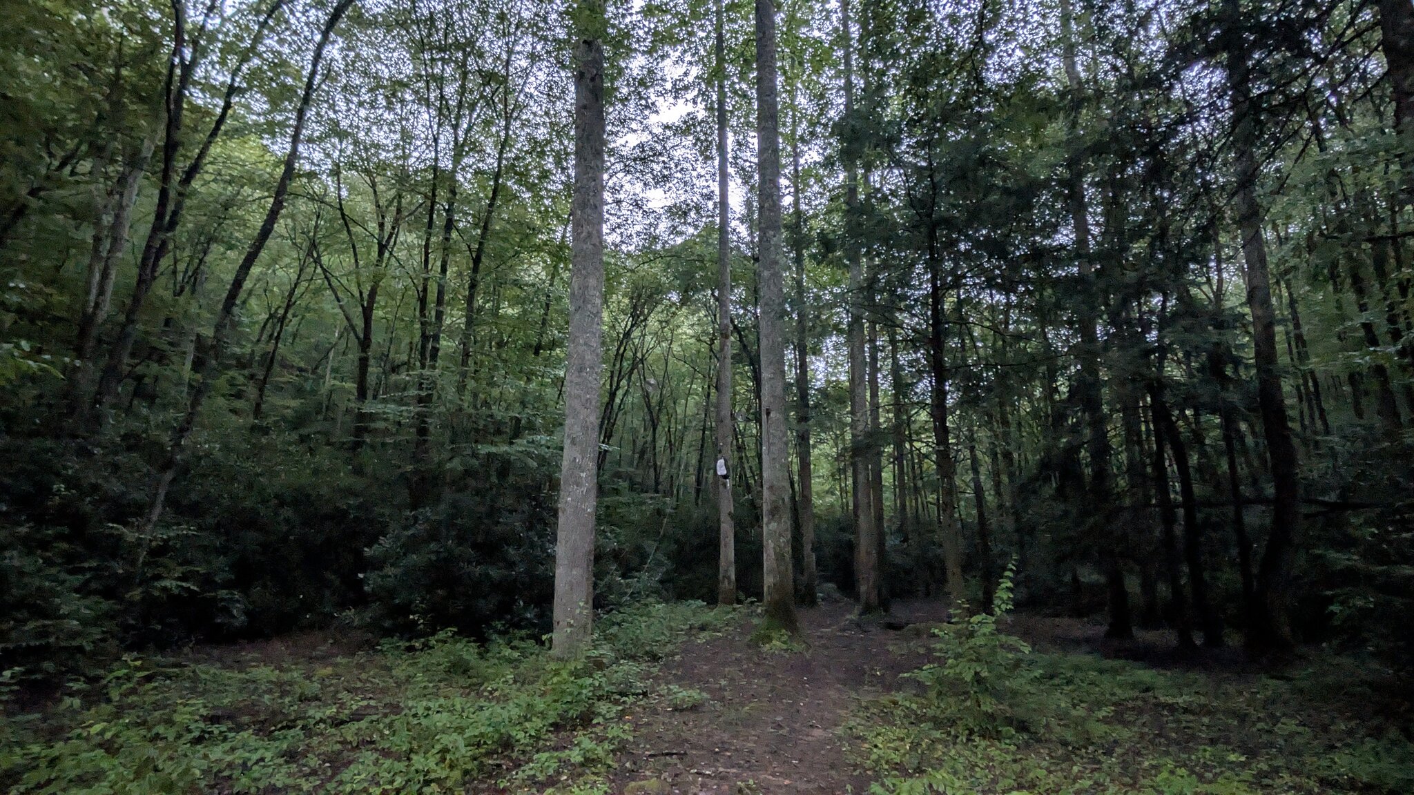
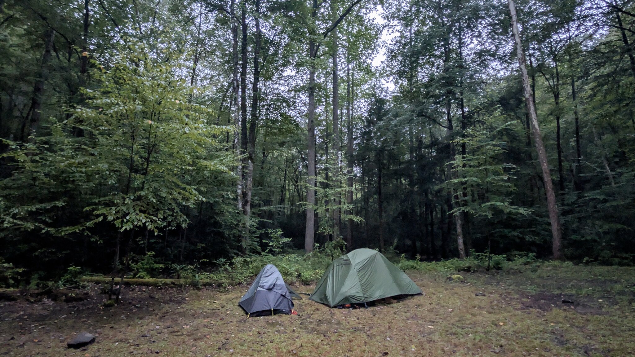
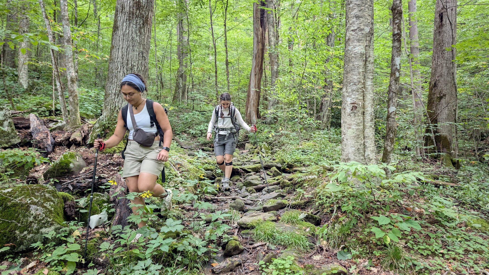
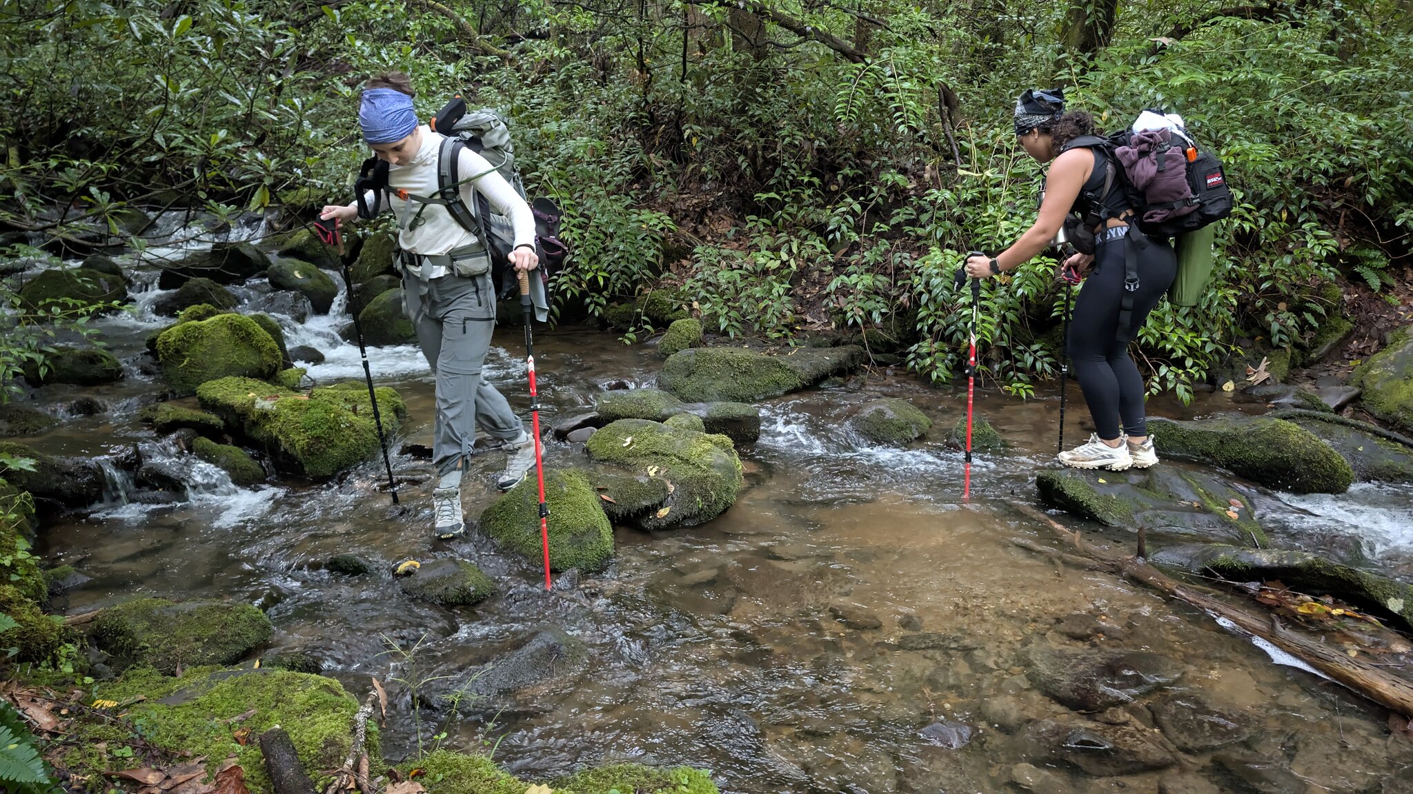
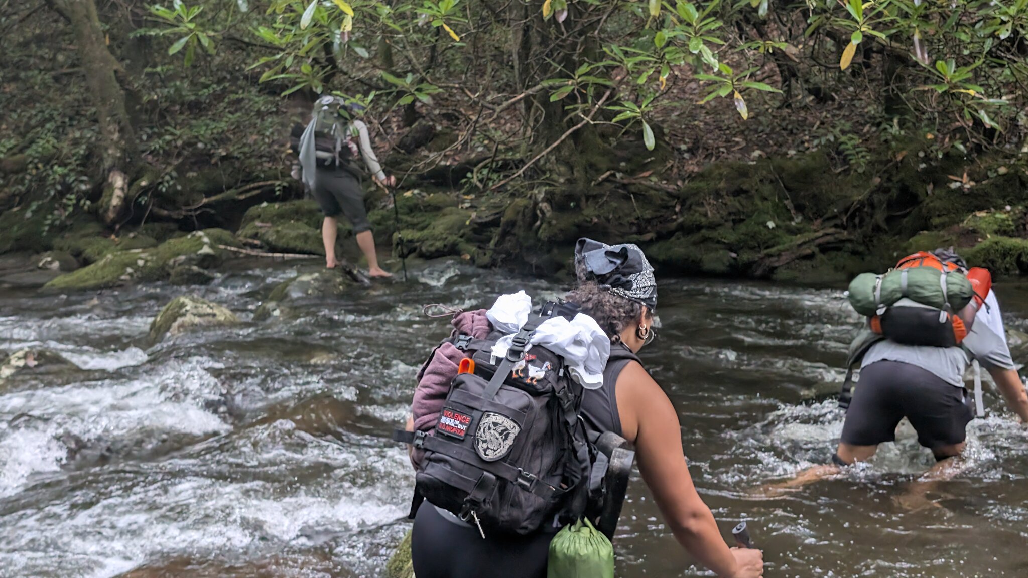
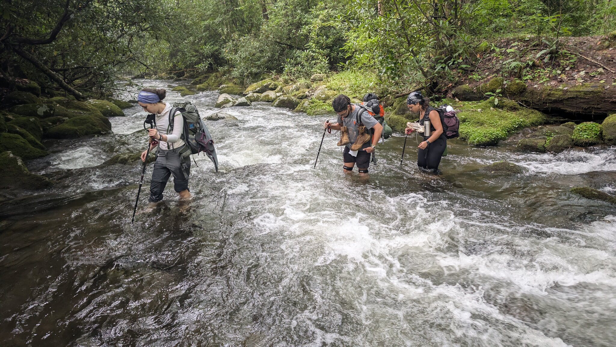
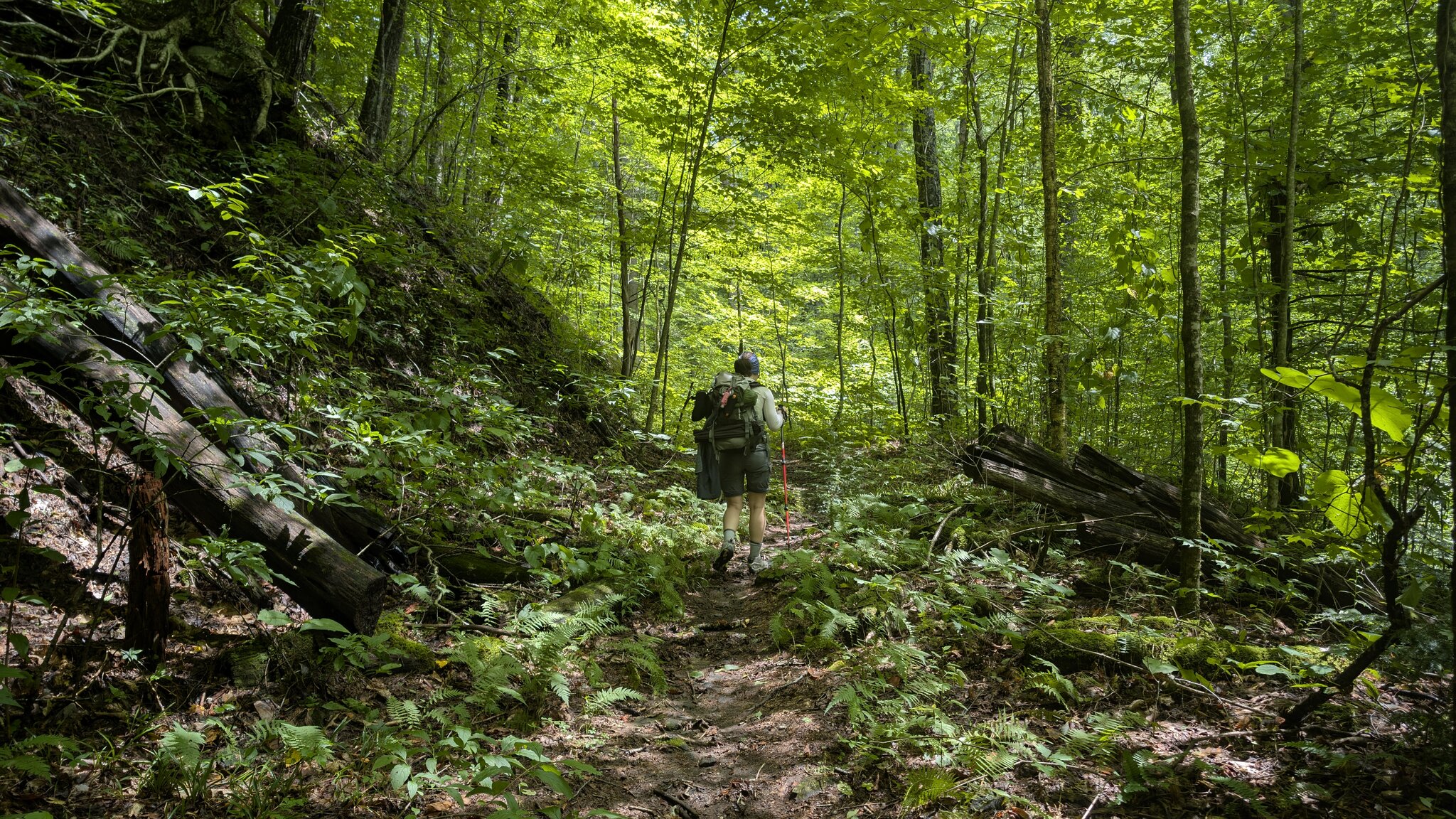
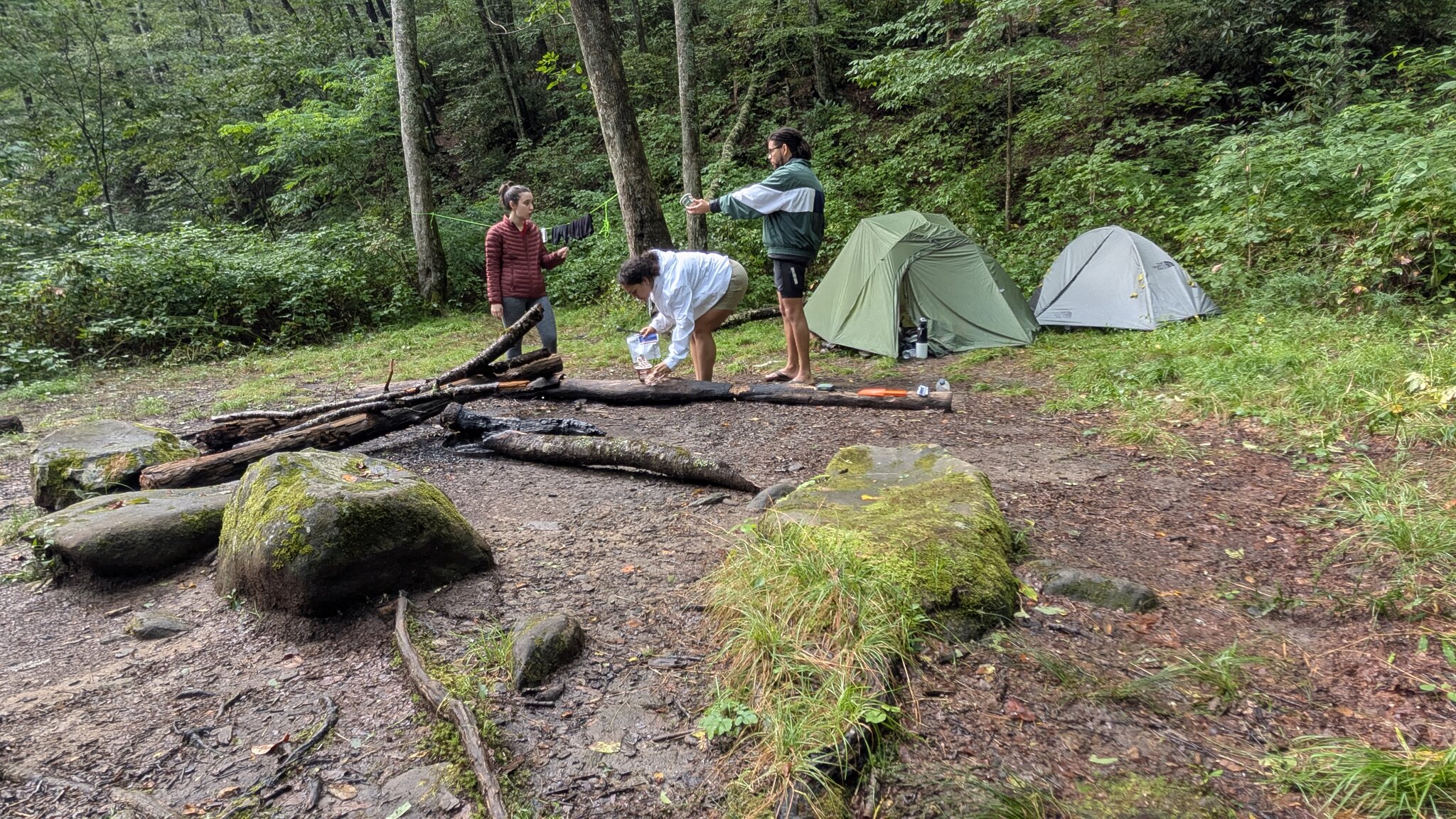
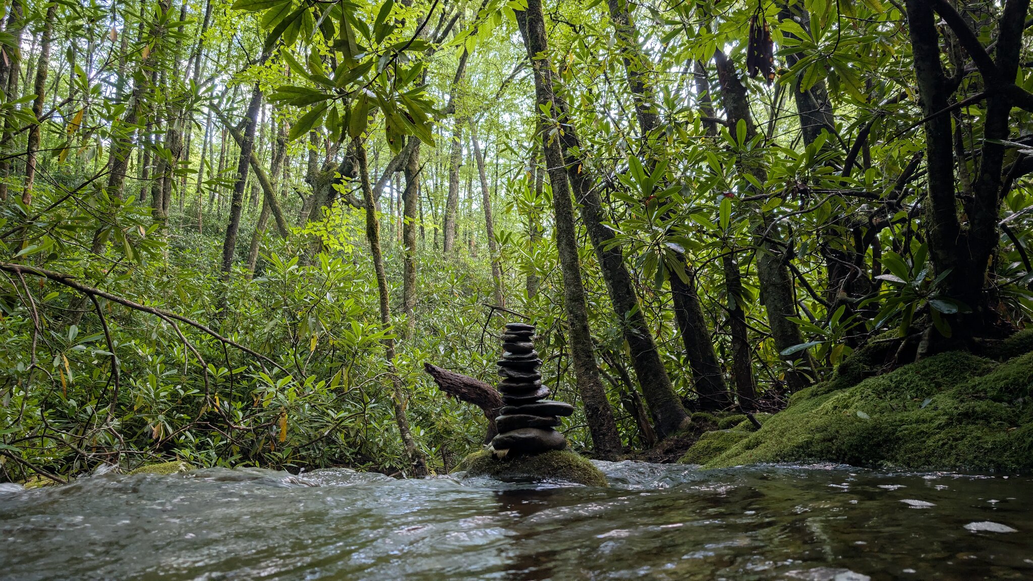
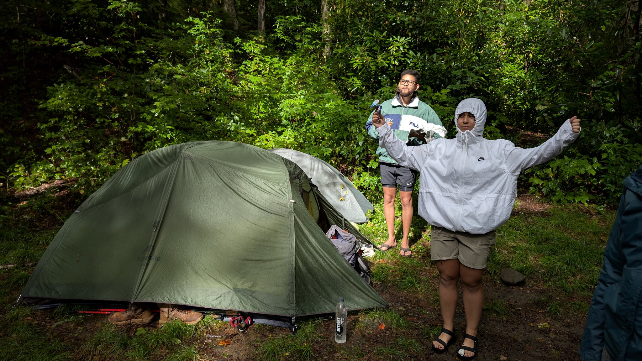
The Silers Bald and Forney Creek Loop Trail offered a true backcountry adventure in the Smoky Mountains. The route carried us across ridgelines with wide mountain views and then down into the quiet, shaded valleys carved by rushing streams. We spent our first night at Jon
Silers Bald and Forney Creek Loop Trail
August 22, 2025
by @antoniodltm
North Carolina, United States
Moderate
Completed
Distance 47.50 km
Est. duration 16h 24m
Elevation Gain 1654 m
Elevation Loss 1657 m
Category Hiking
Description
Route
Start
618 m
35.60914, -83.45051
625 m
35.56267, -83.49961
2.48 km
35.56269, -83.51739
3.29 km

35.56492, -83.52493
3.49 km
35.56496, -83.52667
5.33 km
35.56512, -83.54249
9.38 km
35.54901, -83.57083
12.76 km
35.53229, -83.56103
16.65 km
35.51364, -83.55786
16.65 km
35.51364, -83.55786
16.68 km

35.51358, -83.55812
16.80 km
35.51335, -83.55789
17.09 km
35.36501, -83.55049
17.31 km
35.51420, -83.55480
18.24 km
35.51668, -83.55157
19.51 km
35.51951, -83.54371
23.71 km
35.53448, -83.52523
25.44 km
35.54024, -83.51209
25.45 km
35.54014, -83.51220
25.45 km
35.53999, -83.51229
25.45 km
35.54016, -83.51246
47.50 km
Finish